


Here is the distant view of the bridge and the gorge it spans.

It is long climb. They get a lot of snow up here in the wintertime, as you can see by the snow posts.

"moonscape" making a transition zone between the treed lower elevations and the true alpine above the tree line. The small, twisted alpine firs are call "mopheads" shaped by a combination of heavy snows and icy winds forming in their upper branches. We have seen this quite often on our trip.
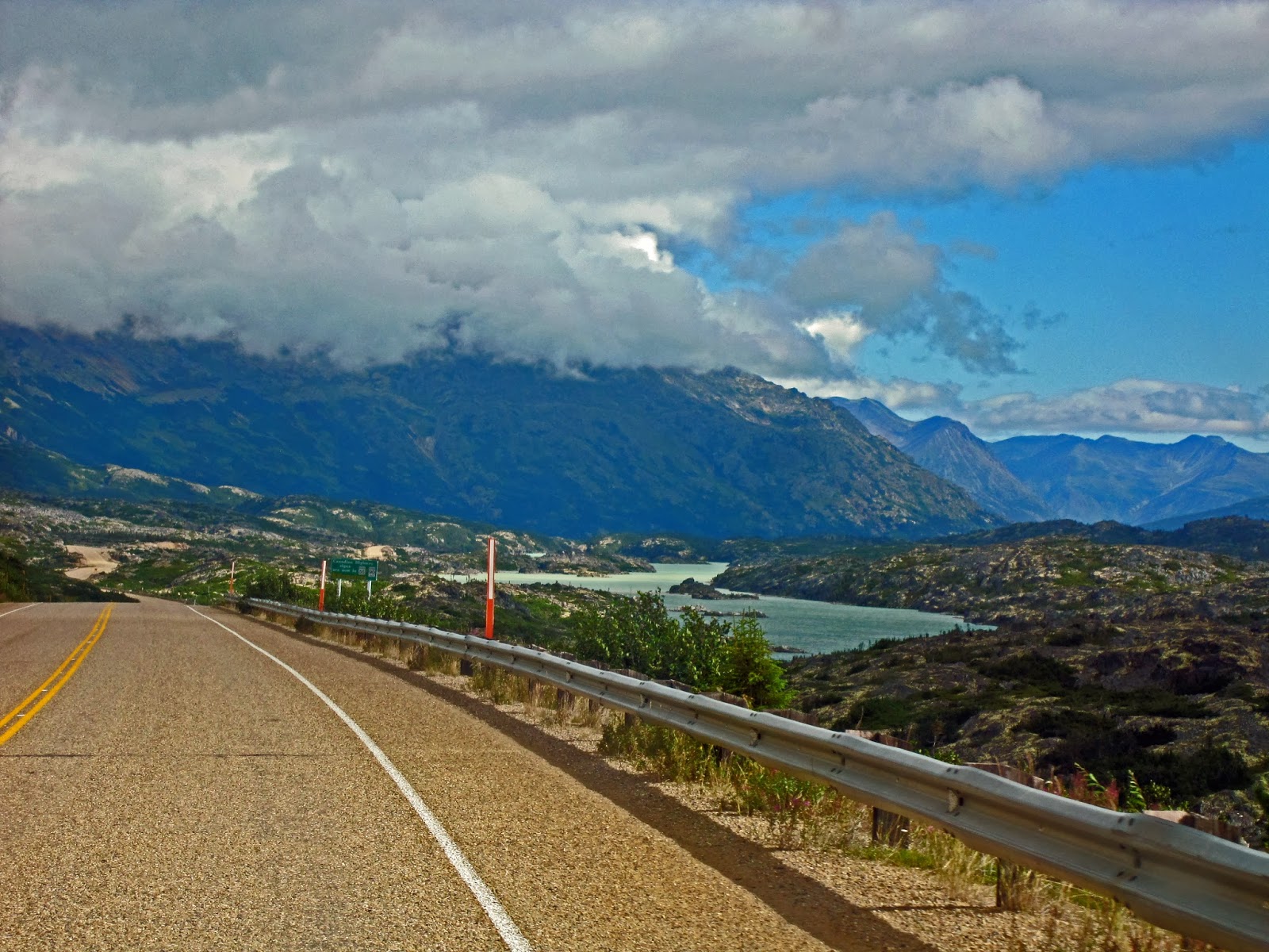
More of Summit Lake and the hills above. As you have probably guessed we made it up the hill--no problem.

This is Jack Peak overlooking the Summit Lake valley.

This was the Canadian Customs Station: Same questions, same answers; no problems.

Views on the road.
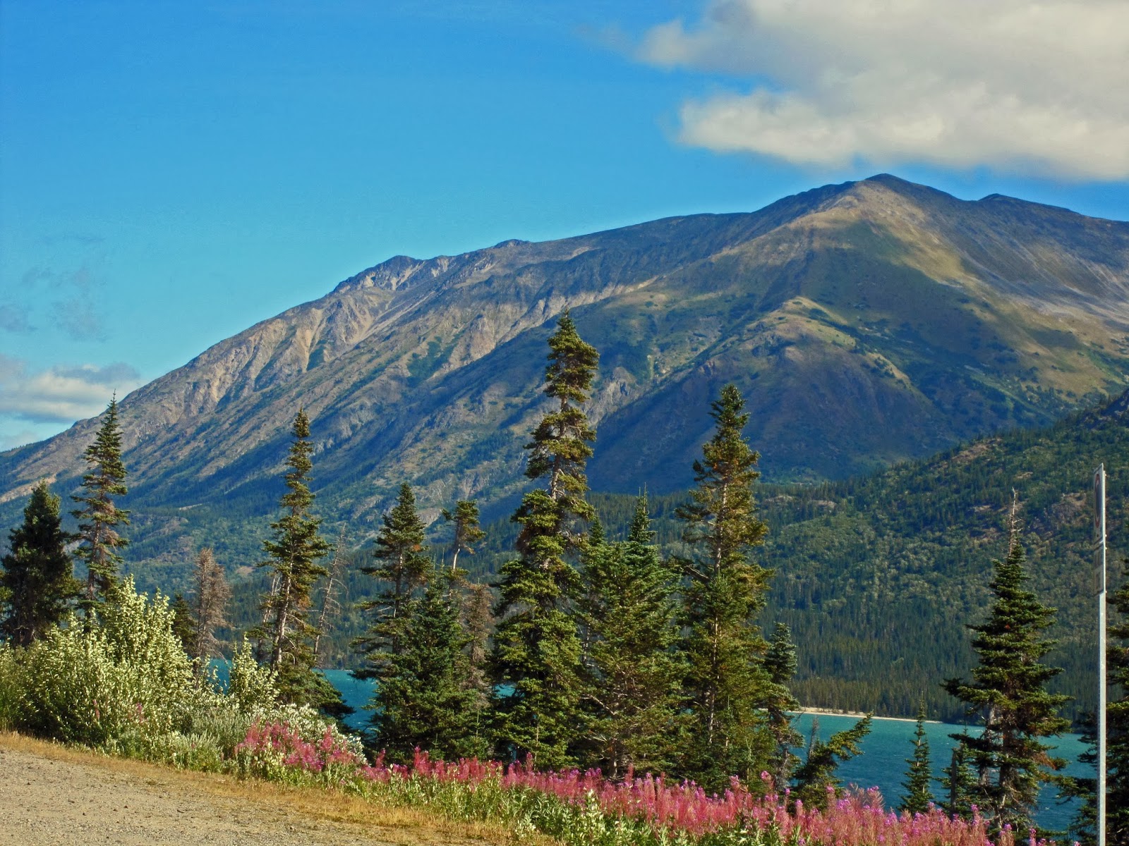
Fireweed and Tutshi Lake

 | |
| Fireweed |
 |
| Rose Hips |
Dall Peak
 |
| Lime Mountains above Tagish Lake |
 | |
| Bove Island on Tagish Lake |
We continued on thru Carcross without stopping, over the Tagish cut-off, and back onto the Alaskan Highway. We are covering ground that we (and you) have seen before--including the Nisultin Bay Bridge.
If you recall this bridge is the longest on the Alaskan Highway at 1,917 feet.


Lakeshore RV Park on Teslin Lake, one of the biggest lakes in Yukon. We camped overnight here twice.

Teslin Lake

Yes---more Fireweed--but how can one not admire this color contrast, as many times as we have seen it?

The next day we stopped for a little lunch at the Wolfs Paw Trading Post and Restaurant.
The current owner is a woodworker and an artist. This door he carved is but one example of his fine craftsmanship.

Another example is this "Old Woman In A Shoe", an extremely detailed and well put together carving. A real artist!

I wonder what he'll do with this giant burl on a porch post.
The gift shop also had the popular diamond Willow walking sticks. Almost got one but no need, or so a little voice said in my head.


Pauline always finds the hats---and tries them on.

Even scary ones.

More mounted animals. Think this is a lynx.
A few more miles down the road we said goodbye to the Alaskan highway and turned onto the Cassiar Highway. This highway has not been paved for that long a period and is not so well traveled as the alternative, the Alaskan Highway. There are very few services on this road, as we soon found out.

In fact, for nearly half of it there were no lines on the road.

With all this traffic they should have lines.. ;-)

The first peopled location we came to was Jade City, a very interesting place. In case you didn't know it 92% of the world's Jade comes from the Cassiar Mountains. So here they mine it, and create things with it. And they had free coffee.

One of the saws and some of the Jade they cut and form.

For example they went from this Jade Inukcuk

to this one in just a few minutes. Well, maybe a little longer than that. I got this one for Pauline to put down my the creek. (Wish; wish!) Then that little voice started talking again.

We did trade some 'gold' for some Jade and continued along on our way again. The views on this highway are just out of this world. But right now we kept thinking that our own Cascade Range would really look nice too. (All the while hoping they would have put out the smoky fires down South that we had heard about.)

More of the views.

We finally stopped at Water's Edge campground on Dease Lake. This beautiful little campground had no frills, but the lake was lovely and it was peacefully quiet. If we were not now in a little more of a 'hurry' we might have stayed a little longer.

No comments:
Post a Comment